Major Lines of Latitude
Lesson Plan: Discovering Lines of Latitude
Objective:
To introduce students to the concept of lines of latitude on Earth's surface.
To help students understand how lines of latitude are measured and their significance in locating places on Earth.
To engage students in a hands-on activity to reinforce their understanding of lines of latitude.
Materials:
World map or globe
Pictures or diagrams illustrating lines of latitude
Whiteboard and markers
Blank sheets of paper
Colored pencils, crayons, or markers
Ruler (optional for activity)
Introduction (10 minutes):
Begin by asking the students if they know how maps and globes help us find places on Earth.
Explain that today, they will learn about an important part of maps and globes called "lines of latitude."
Discussion (10 minutes):
Show a world map or globe to the students.
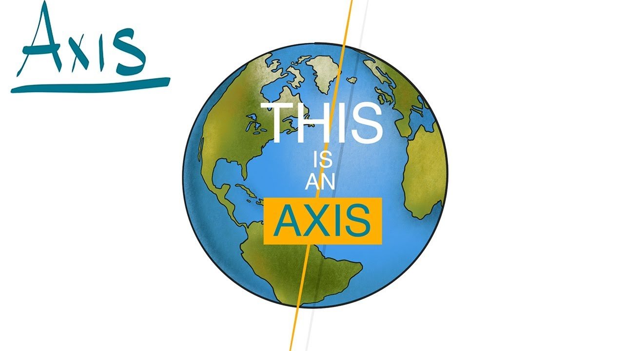
Point out the horizontal lines that go around the Earth, like belts, and explain that these are called lines of latitude.
Discuss how lines of latitude are measured in degrees, starting from 0° at the Equator and going up to 90° at the North Pole and down to -90° at the South Pole.
Explain that lines of latitude help us determine how far north or south a location is from the Equator.
Use pictures or diagrams to illustrate the concept of lines of latitude on a map or globe.
Activity (15 minutes):
Provide each student with a blank sheet of paper and art supplies (colored pencils, crayons, markers).
Ask them to draw a world map, including lines of latitude (the Equator, Tropic of Cancer, Tropic of Capricorn, Arctic Circle, and Antarctic Circle).
Encourage them to label these lines with their degrees (e.g., 0° for the Equator, 23.5°N for the Tropic of Cancer).
Optionally, provide a ruler for more precise drawing, or use a printed template for younger students.
Conclusion (5 minutes):
Summarize the key points about lines of latitude:
Lines of latitude are horizontal lines on Earth's surface.
They are measured in degrees, starting at 0° at the Equator.
Lines of latitude help us determine how far north or south a place is from the Equator.
Ask students if they have any questions or if they'd like to share what they've learned.
Wrap-up (5 minutes):
Have a brief class discussion to recap what the students have learned about lines of latitude and their importance in geography.
Encourage students to use maps and globes to explore the world and find places using lines of latitude.
Homework (Optional):
If desired, assign a short homework task such as asking students to identify and mark lines of latitude on a world map or globe at home.
Assessment:
Assess students' understanding through class discussion, their participation in the activity, and their ability to summarize key points about lines of latitude during the conclusion.


